
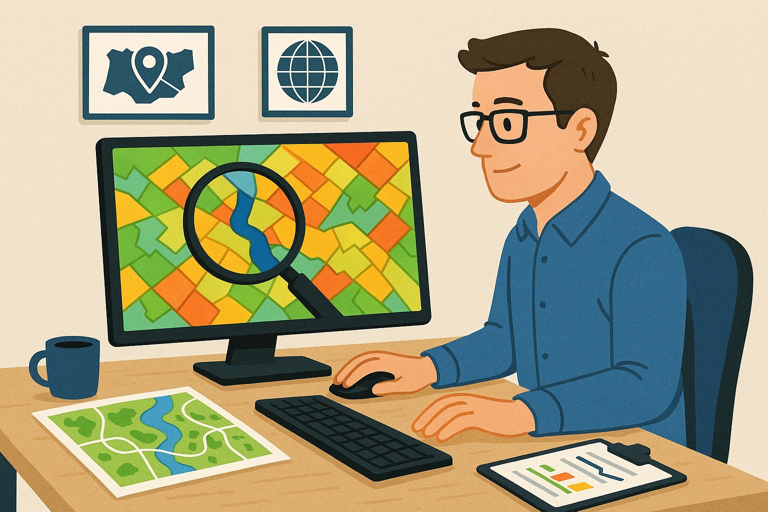
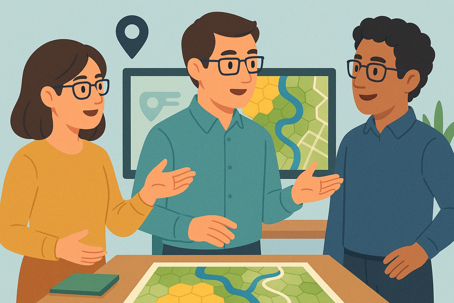
Working as a GIS Specialist
A GIS Specialist plays a crucial role in analyzing, visualizing, and managing geographic data using specialized GIS software. This professional, also known as a Geographic Information System Specialist, supports organizations in gaining valuable insights from spatial information. GIS Specialists develop, implement, and optimize systems and strategies to effectively use geospatial data for decision-making, policy development, and operational processes.
The demand for GIS Specialists is growing, partly due to the increase in data-driven work across sectors such as government, spatial planning, infrastructure, environment, mobility, and utilities. Using tools like ArcGIS, QGIS, and various data platforms, they link map data to datasets, identify patterns, and deliver valuable visualizations and reports.
The salary of a GIS Specialist depends on experience, education level, industry, and specific responsibilities. In general: the more technical and analytical the role, the higher the salary. GIS Specialists with skills in programming languages such as Python or R, and experience in data modeling or data manipulation (e.g., with SQL), are especially in demand.
This position closely aligns with roles such as Geospatial Analyst, Data Manager Public Space (formerly often referred to as Gegevensbeheerder Openbare Ruimte), and Environmental Data Analyst.
Want to learn more about all career opportunities in data and analytics? Check out our comprehensive career guide. Curious about current vacancies for GIS Specialists and related roles? Take a look here.

What does a GIS Specialist do
What Does a GIS Specialist Do?
A GIS Specialist combines technical skills with analytical insight to solve complex geographical challenges. They are responsible for setting up and maintaining GIS systems, ensuring data quality, and creating maps, dashboards, and analyses that help organizations make strategic decisions.
Key Tasks and Responsibilities
- Developing, implementing, and optimizing GIS strategies and processes within the organization.
- Managing, structuring, and improving the quality, timeliness, and consistency of geospatial data.
- Setting up and executing GIS projects, including planning, resource management, execution, and monitoring.
- Performing spatial analyses and visualizations such as heat maps, buffer analyses, network analyses, and 3D models.
- Integrating GIS with other data sources and systems (such as sensor data, open data, and remote sensing).
- Collaborating with IT teams, data scientists, policymakers, and other stakeholders to future-proof GIS architectures and applications.
- Training and guiding colleagues in the use of GIS tools such as ArcGIS, QGIS, and web-based mapping applications.
Skills and Competencies
To be successful as a GIS Specialist, both technical and communication skills are essential. You must be proficient with GIS software, spatial databases, and programming languages such as Python or SQL. At the same time, you need to clearly translate complex analyses into insights for non-technical stakeholders. Problem-solving ability, precision, and strong analytical thinking are indispensable.
Why Choose a Career as a GIS Specialist?
Working as a GIS Specialist offers a lot of variety, societal relevance, and opportunities for advancement. You contribute to solving current issues such as climate change, mobility, urban development, and infrastructure management. Moreover, the role offers strong career opportunities toward senior roles such as Geospatial Consultant, GIS Project Manager, or Data Manager Public Space.
Conclusion
GIS Specialists are essential in a world that increasingly revolves around location intelligence and data-driven decision-making. With their unique mix of technical expertise and spatial insight, they help organizations operate more efficiently, sustainably, and innovatively. Whether you're just starting out or already have experience, a career in GIS offers plenty of opportunities.

Job Profile of a GIS Specialist
A typical and current job profile of a GIS Specialist includes:
- A relevant academic background, such as geography, geomatics, cartography, urban planning, spatial planning, or a comparable field. A master’s degree is often an advantage.
- Proven experience with geographic information systems and geospatial data analysis, including processing large datasets and combining data from various sources.
- In-depth knowledge of GIS processes, policies, and technologies, such as remote sensing, GPS systems, spatial modeling, and open data standards (like INSPIRE).
- Experience with current GIS software and tools, such as ArcGIS, QGIS, MapInfo, ERDAS Imagine, and FME. Knowledge of Python, SQL, or R to automate workflows is a strong plus.
- Analytical and problem-solving skills, essential for translating complex geographic data into actionable insights and visual reports.
- Experience with data visualization and cartographic techniques, including the design of digital maps, interactive dashboards, and 3D visualizations of spatial data.
- Excellent communication skills, both verbal and written. A GIS Specialist must be able to clearly explain technical findings to non-technical colleagues, project leaders, and policymakers.
- Knowledge of current themes and applications within the field, such as climate adaptation, urban development, mobility, digital twins, and the energy transition.
- A proactive and critical work attitude, combined with a high degree of independence and the ability to collaborate in multidisciplinary teams.
The role of a GIS Specialist in a data-driven society
The demand for GIS Specialists is growing rapidly in a world where location information is becoming increasingly important. Governments, consultancy firms, and commercial organizations use geographic data to support policies, map risks, make infrastructural decisions, and analyze societal developments. A GIS Specialist acts as a bridge between data analysis and spatial decision-making.
Future outlook and development
With the rise of smart cities, AI in location analysis, and the integration of sensor data (IoT), the role of GIS Specialists is becoming more important and more technical. Specializations within the field, such as geo-ICT, spatial data science, and geo-intelligence, offer interesting career advancement opportunities. The importance of soft skills like stakeholder management, data literacy, and ethics in data use is also growing.
What tools does a GIS Specialist use?
GIS Software
At the core of a GIS specialist’s work is, of course, GIS software. Without these tools, collecting, analyzing, and visualizing geographic data would be unthinkable. ArcGIS by Esri remains the global leader, thanks to its extensive functionalities for advanced spatial analyses and seamless integration with other tools and data sources. For organizations looking for flexibility and lower costs, QGIS is an open-source alternative that is quickly gaining ground. Thanks to its vibrant community and the many extension options via plug-ins, QGIS is ideal for customized applications.
In recent years, cloud-based solutions such as ArcGIS Online and QGIS Cloud have become increasingly popular. These platforms make it easier to manage geographic data online, collaborate in real time, and publish interactive maps. For modern organizations, this is a crucial step toward the digital transformation of spatial data analysis.
Remote Sensing Software
For large-scale geographic analyses and interpreting satellite or aerial imagery, remote sensing software is essential. ENVI offers powerful tools for processing hyperspectral and multispectral images, used in applications such as agricultural monitoring, environmental impact assessments, and disaster management. ERDAS Imagine excels at modeling geographic phenomena over time and space, and provides robust tools for classification, detection, and analysis.
The integration of remote sensing with machine learning algorithms is increasing, opening up possibilities for automated object recognition and predictive models based on image data.
Database Management Systems (DBMS)
Storing and managing geographic data requires a stable and efficient database environment. PostgreSQL with PostGIS is the most popular open-source solution for spatial databases. This combination offers powerful capabilities for performing spatial queries, advanced operations, and integration with GIS software.
Oracle Spatial and Microsoft SQL Server with spatial extensions are also widely used in larger organizations with high demands for performance and integration. These systems enable the secure storage, querying, and editing of complex datasets, including 3D and time-based information.
Programming Languages
Programming skills have become increasingly important for GIS specialists. Python is by far the most used programming language in GIS, thanks to libraries such as GDAL, GeoPandas, Fiona, and Shapely. These tools make it possible to efficiently process, analyze, and visualize geographic data.
R is also gaining ground for complex statistical analyses of geospatial datasets, especially in academic and research environments. There is also a clear trend toward the use of machine learning via frameworks like TensorFlow and PyTorch for applications such as pattern recognition in aerial images and predictive modeling.
Webmapping Tools
Making geographic data available online is a crucial part of modern GIS work. Tools like Leaflet, Mapbox, and the ArcGIS JavaScript API make it possible to build interactive maps that can easily be embedded in websites or dashboards. These technologies ensure a user-friendly and visually appealing presentation of spatial information.
Web GIS platforms such as ArcGIS Online and MapInfo Pro Online offer ready-to-use solutions for organizations that want to offer GIS functionality via the browser, including real-time collaboration and mobile accessibility.
CAD Software
In projects where precise technical designs and geographic analysis come together—such as in infrastructure or urban planning—CAD software is widely used. AutoCAD and Bentley Systems are often combined with GIS tools to provide both technical precision and geographic context.
AutoCAD Civil 3D in particular offers strong integration capabilities with GIS data, allowing designs to be directly analyzed within their spatial context. This linkage is essential for road design, sewer systems, and construction projects.
Data Visualization Tools
Translating complex geographic analyses into understandable insights is crucial for decision-making. Tools like Tableau and Power BI are increasingly used to present GIS data in a visually appealing way. They offer interactive dashboards, maps, and charts that help identify geographic trends and patterns.
Powerful visualization tools are also available within ArcGIS and QGIS, such as StoryMaps and graphic reports. Integration with Power BI is widely used within many organizations to combine GIS analyses with business data, providing valuable insights for both management and operations.
Cloud Platforms
Large GIS projects generate vast amounts of data. Cloud solutions such as AWS and Google Cloud Platform offer scalable storage and processing capabilities. This makes it possible to perform real-time analyses, collaborate with international teams, and manage data securely.
Cloud-based GIS tools such as Google Earth Engine and ArcGIS Online also offer advanced analysis capabilities, including access to historical and current satellite imagery. This enables large-scale analyses on global datasets—from climate change to urban growth.
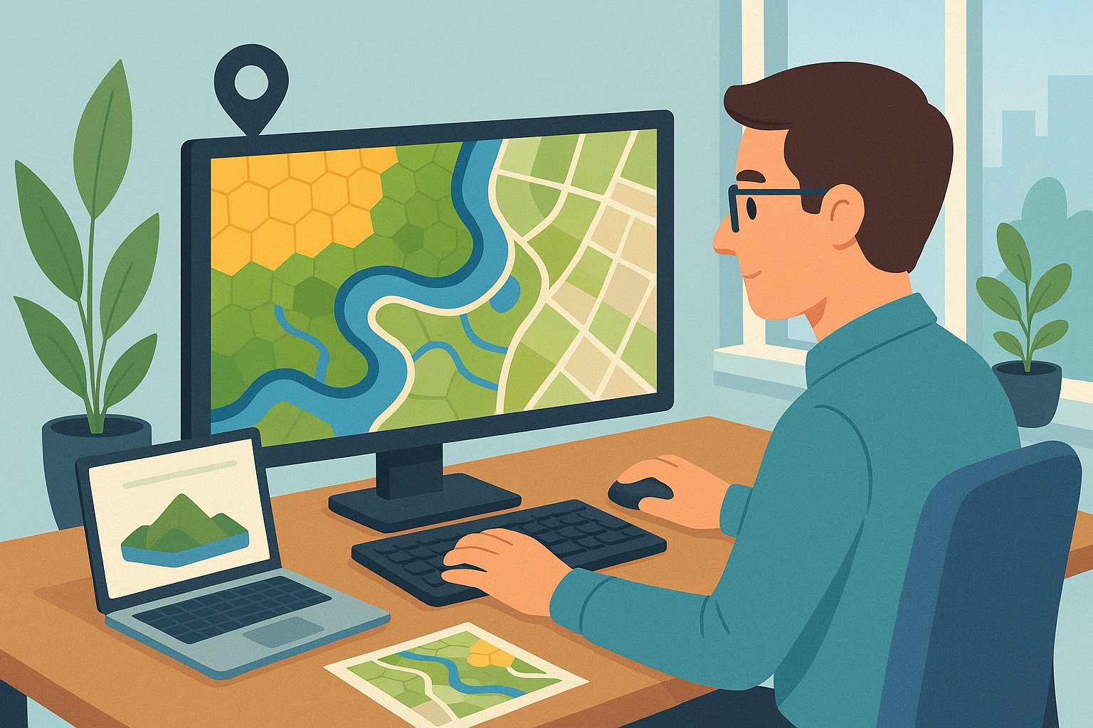
A Day in the Life of a GIS Specialist
A Day in the Life of a GIS Specialist: From Fieldwork to Data Visualization
08:30 – The Day Starts with Data
A GIS Specialist’s morning often begins with a cup of coffee and a look at the day’s schedule. Maps, datasets, and project documents appear on the screen. Using advanced software – such as ArcGIS, QGIS, or MapInfo – they work on collecting and processing geographic data. The first hours of the day are spent checking new datasets for quality and completeness. Is the information up to date? Are there any anomalies? Is everything correctly projected in the appropriate coordinate system?
10:30 – Analysis and Interpretation of Geospatial Data
The GIS Specialist then dives deep into the data. Patterns are analyzed and trends visualized. For example: how is heat stress distributed in urban areas? Where is there a risk of flooding during heavy rainfall? Or how can routes be planned more efficiently in rural areas? Using spatial analysis, these questions are translated into insightful maps that help policymakers or project teams make informed decisions.
12:30 – Lunch and Learning
The lunch break offers time to relax, but also often provides inspiration. Many GIS Specialists stay up to date with new techniques through webinars, blogs, or internal knowledge sessions. The world of GIS is evolving rapidly: machine learning, remote sensing, drones, and 3D models are just some of the innovations they encounter. Ongoing training is not a luxury, but a necessity.
13:30 – Fieldwork and Validation
In the afternoon, fieldwork is often on the agenda. Equipped with GPS devices or mobile apps, GIS Specialists head out to collect data or validate existing maps. This could involve checking the location of underground pipelines, surveying new green spaces, or documenting landscape features. This work demands precision and a sharp eye for detail – both outdoors and indoors.
15:30 – Collaborating on Projects
Back at the office (or via video call), the GIS Specialist joins a project meeting. They work closely with colleagues from various disciplines: ecologists, urban planners, traffic engineers, or policy advisors. The GIS Specialist translates their questions into spatial solutions. What data is needed? How can we best visualize it? Which map layers are relevant?
16:30 – Consulting, Custom Work, and Reporting
At the end of the day, maps are fine-tuned, reports are written, or interactive dashboards are updated. Everything is aimed at supporting decision-making with clear, visual information. Sometimes these are simple thematic maps, sometimes complex analyses with hundreds of data points. The GIS Specialist is not only technically skilled but also a strong communicator: they can explain what a map shows and why it matters.
At a Glance: What Does a GIS Specialist Do?
- Collects, analyzes, and visualizes geographic information.
- Works with advanced software like ArcGIS, QGIS, and AutoCAD.
- Performs field measurements and validates data in practice.
- Delivers custom maps, dashboards, and reports.
- Collaborates with project teams, policymakers, and external stakeholders.
- Continuously learns and evolves in a rapidly changing field.
A GIS Specialist is the bridge between complex geographic data and clear, visual information that directly impacts practice. Whether it’s about sustainable urban development, climate adaptation, or infrastructure planning – without the specialized perspective of a GIS professional, much spatial policy would quite literally be directionless.
What does a GIS Specialist earn
The salary of a GIS Specialist can vary significantly depending on factors such as experience, location, the sector in which one works, and the level of technical and domain knowledge. GIS Specialists play a crucial role in visualizing, analyzing, and interpreting geographic data to solve spatial problems. They work with geographic information systems (such as ArcGIS or QGIS) and are essential for organizations that rely on location intelligence. Below is an overview of salary expectations based on different experience levels.
Entry Level (Junior GIS Specialist)
A Junior GIS Specialist, often with a background in geography, urban planning, geo-informatics, or a technical education, can expect a salary of €3,000 to €4,000 per month. At this level, you support projects by creating maps, accessing data sources, and conducting analyses under the guidance of experienced colleagues. Knowledge of basic GIS software (such as QGIS or ArcGIS), simple spatial analyses, and handling shapefiles, geodatabases, and GPS data is required.
Mid-level (GIS Specialist)
A GIS Specialist with 2 to 5 years of experience typically earns between €4,000 and €5,500 per month. You independently perform spatial analyses, develop interactive maps, and manage geographic data files. You often collaborate with policy advisors, data analysts, or engineers on projects in fields such as public space, mobility, or sustainability. Knowledge of scripting (Python, SQL), geo-visualization, and automating workflows is important at this level.
Senior Level (Senior GIS Specialist)
A Senior GIS Specialist, with more than 5 years of experience in spatial data analysis and geo-information, can expect a salary of €5,500 to €7,000 per month. You are responsible for setting up GIS architectures, advising on data standards, and leading complex projects. You have experience with integrations between GIS and other systems (such as CAD, BIM, or FME), and often work with web services, geodatabases, and enterprise GIS environments.
Lead GIS Specialist
The role of Lead GIS Specialist is mainly found in larger organizations such as municipalities, provinces, engineering firms, or research institutes. The salary ranges between €7,000 and €8,500 per month. You develop and oversee the organization’s geo-strategy, lead a team of GIS professionals, and ensure coordination with IT, policy, and external stakeholders. Experience with geo-data governance, data security, and scalable cloud solutions (such as ArcGIS Online or GeoServer) is often required.
Location and Sector
Location and sector play a key role in determining the salary of a GIS Specialist. In the Randstad region (Amsterdam, Utrecht, Rotterdam, The Hague), salaries tend to be higher due to the presence of consulting firms, government institutions, and innovative geo-startups. Sectors such as spatial planning, infrastructure, environment, energy, and agriculture offer many opportunities for GIS professionals due to the growing demand for spatial data insights.
Education and Skills
GIS Specialists with an educational background in geo-information, geography, urban planning, or a technical field are in high demand. Skills such as working with ArcGIS, QGIS, PostgreSQL/PostGIS, Python, and FME are valuable. Knowledge of web mapping (Leaflet, Mapbox), building geoportals, and managing metadata can also contribute to a higher salary. A sharp analytical mind and the ability to clearly present complex spatial information are essential for success in this role.

Career Path and Growth Opportunities as a GIS Specialist
Why choose a career as a GIS Specialist?
A career as a GIS Specialist offers ample opportunities for growth, specialization, and development. In this field, you work daily with Geographic Information Systems to analyze, visualize, and apply complex spatial data. GIS plays an increasingly important role in sectors such as infrastructure, climate adaptation, mobility, and urban development. This makes the work of a GIS Specialist not only challenging but also socially relevant.
Growth opportunities and career prospects
As you gain more experience and expand your technical skills, you can progress to senior roles such as GIS Analyst or GIS Engineer. There are also plenty of opportunities to advance to leadership positions, such as GIS Manager or GIS Project Leader. In these roles, you are responsible for managing projects, guiding teams, and strategically utilizing geodata.
Specialization in various domains
As a GIS Specialist, you can also deepen your career by specializing in a specific domain. Examples include:
- Urban planning: contributing to smart and sustainable cities using spatial data.
- Environment and climate: supporting environmental policy, nature conservation, and climate adaptation.
- Infrastructure: optimizing roads, pipelines, and networks through accurate maps and analyses.
- Defense and security: using geodata for strategic purposes and risk analysis.
Technological developments
The GIS field is evolving rapidly. New technologies such as remote sensing, machine learning, and 3D modeling are enabling increasingly advanced applications. As a GIS Specialist, you’ll continuously keep learning, for example through courses, certifications, or by working with modern tools like ArcGIS, QGIS, or Python for automated analysis.
Conclusion: a future-oriented choice
A career as a GIS Specialist is forward-looking, diverse, and challenging. You actively contribute to spatial issues that impact our society, and you have many opportunities for professional development. Whether you choose to specialize in a domain or move into a leadership role, the opportunities are vast and the impact is tangible.

Training and Certification for GIS Specialists
Want to be successful as a GIS Specialist? Then it’s essential to continuously invest in your knowledge and skills. The world of Geographic Information Systems (GIS) is evolving rapidly. New technologies, tools, and data sources are offering more and more opportunities to solve spatial challenges. A solid foundation — such as a relevant academic background in earth sciences, geography, computer science, or geoinformatics — is your first step. But even after completing your studies, it’s crucial to keep developing through courses, training, and certifications. This shows you have up-to-date knowledge and keeps you attractive in the job market.
Why Certifications Matter for a GIS Specialist
Certifications are a valuable addition to your hands-on experience. They demonstrate that you have recognized expertise in GIS software, data analysis, and cartography. Employers and clients increasingly value proven skills, especially in complex projects where accuracy and reliability are critical.
Popular Certifications for GIS Specialists
There are several well-regarded certifications and courses that can help you stand out as a GIS Specialist. Below is an overview of the most in-demand and relevant programs.
Geographic Information Systems Professional (GISP)
The GISP certification is internationally recognized as the gold standard for professional GIS specialists. It focuses on demonstrating your knowledge, ethics, experience, and ongoing professional development. This certification is especially relevant for those working on long-term or policy-oriented GIS projects within government or consultancy.
Esri Technical Certification
Do you work with ArcGIS and other Esri software? Then the Esri Technical Certification is a logical step. This certification validates your skills in using Esri products, including ArcGIS Pro, ArcGIS Online, and ArcGIS Enterprise. Multiple levels are available — from associate to professional — focused on areas like desktop use, development, or system administration.
QGIS Certified Professional
More and more organizations are using open-source GIS solutions. QGIS is one of the most popular platforms in this area. With the QGIS Certified Professional certification, you show that you are skilled in working with this powerful and flexible software. This certification is ideal for those working in research, government, or sustainability.
Additional Courses and Skills
In addition to these certifications, it’s valuable to delve into related domains such as:
- Spatial data modeling
- Python programming for automated GIS processes
- Remote sensing and satellite imagery
- 3D visualization and web mapping
- Data visualization and storytelling with maps
Many of these skills can be developed through online platforms, universities, or specialized training institutes.

Stay Ahead in a Competitive Market
By earning certifications and taking targeted courses, you not only expand your knowledge but also increase your appeal to employers. You demonstrate that you closely follow developments in the field and are willing to invest in your professional growth. In a job market where GIS specialists are becoming increasingly important for decision-making, urban development, environmental research, and mobility issues, this is a powerful asset.
In short: keep learning, keep growing, and build your success as a GIS Specialist step by step.
Networking and Industry Organizations
Industry Organizations
For GIS Specialists, it is essential to stay closely connected to the industry and actively participate in relevant professional networks. Membership in leading industry organizations, such as the GIS International Association (GISIA) and the International Society for Photogrammetry and Remote Sensing (ISPRS), provides access to valuable knowledge resources, professional literature, certification opportunities, and industry-specific events.
These organizations regularly host conferences, symposia, and webinars where the latest technological developments, best practices, and research trends in the GIS world are shared. By participating, you not only stay intellectually sharp but also build your professional reputation and visibility within the field.
Active involvement in industry organizations promotes your continuous professional development and opens doors to collaborations, interesting job opportunities, and innovative projects. Especially in a dynamic and rapidly evolving field like geographic information systems, it is important to stay up to date and invest in your network.
Online Networking and Knowledge Sharing
In addition to formal industry organizations, online platforms offer a valuable complement to your professional development as a GIS Specialist. There are countless specialized forums, communities, and LinkedIn groups where knowledge, experiences, and solutions related to geospatial issues are shared daily.
Active participation in these online communities enables you to stay informed about the latest GIS software, data visualization trends, open data initiatives, and innovative applications of geospatial technology. These networks also offer the opportunity to showcase your expertise, ask questions, and connect with other professionals both domestically and internationally.
Especially on platforms like LinkedIn, content-based contributions—such as posts or comments—can enhance your visibility as a subject matter expert. This not only increases your chances of landing interesting projects or job opportunities but also helps position you as a valuable discussion partner in the field.
Impact and Social Relevance
The Key Role of GIS in Society
By analyzing and visualizing geographic data, a GIS Specialist helps organizations make better, data-driven decisions. Think of optimizing public transport networks, planning residential construction, analyzing traffic flows, or mapping flood risks. GIS solutions are also essential for disaster response and monitoring climate change. They provide insight, overview, and control over complex situations that are strongly tied to location and environment.
Practical Applications of GIS
- Urban development: mapping growth, urbanization, and neighborhood restructuring.
- Environmental management: analyzing nature reserves, air quality, land use, and water systems.
- Infrastructure: planning roads, bridges, railways, and utilities based on smart data.
- Safety: supporting risk management and crisis response through real-time data and scenario analyses.
- Sustainability: visualizing the impact of measures on the living environment.
The Impact of Technological Developments
The world of GIS is constantly evolving. New technologies such as remote sensing, drones, satellite imagery, and AI models offer unprecedented possibilities. GIS Specialists combine these sources with traditional datasets to work more accurately and deliver real-time insights. Integration with Big Data and machine learning also enables predictive analysis. This enhances the strategic value of GIS Specialists in both public and private organizations.
The Societal Value of a GIS Specialist
The societal relevance of a GIS Specialist lies in making the interaction between people and their environment visible. By translating complex data into understandable maps and models, they support sustainable policy and efficient decision-making. In doing so, GIS Specialists contribute to safer, better-organized, and future-proof living environments. In an era where location intelligence is becoming increasingly important, their expertise is invaluable.

GIS Specialist at the Municipality of Utrecht
Background
Since 2016, Anna has been working as a GIS Specialist at the Municipality of Utrecht. With a master's degree in Geographic Information Systems and a background in urban planning, she has a passion for connecting geographic data with urban development. Her work forms an important link between data analysis and policy-making, constantly striving for a more livable and efficient city.
Daily Activities
Anna’s daily activities are highly diverse. She analyzes spatial data, develops thematic maps, and supports project teams with location-based insights. A key part of her job is combining datasets — such as demographics, infrastructure, and environmental data — to enable informed decision-making.
For example, she identifies optimal locations for new bike paths based on population density, traffic flows, safety, and existing infrastructure. She also advises on the design of green spaces, monitors urban heat islands, and leverages open data for citizen participation.
Impact
Anna's analyses have led to tangible improvements in the city. A recent project focused on restructuring bus routes, where she used GPS data, passenger flows, and demographic distribution to map alternative routes. This resulted in shorter travel times, better connections, and increased customer satisfaction among public transport users.
Her work also has an impact on sustainability: her GIS models help determine suitable locations for solar fields and design climate-adaptive neighborhoods. Thanks to her efforts, policymakers are better informed and urban plans are implemented more quickly and effectively.
Collaboration & Communication
Anna works closely with colleagues from departments such as Traffic, Spatial Planning, and Environment. She serves as a connecting factor in multidisciplinary project teams and knows how to present complex analyses in an understandable way. Through interactive dashboards and clear visualizations, she makes geographic information accessible to both policymakers and residents.
Her communication skills are essential in participation projects where residents are actively involved in neighborhood improvements. For example, Anna recently led a workshop where residents could share their ideas about redesigning a square using maps and scenarios.
Growth & Development
To keep her knowledge up to date, Anna regularly attends training sessions and workshops. She recently completed a course in 3D modeling and augmented reality. She now applies these new skills in urban visualization projects, allowing policymakers to virtually walk through future urban developments.
In addition, she is involved in a national working group for GIS professionals in the public sector, where she shares best practices and collaborates on innovations in data-driven urban development.
Future Vision
Anna sees the future of GIS as increasingly intertwined with artificial intelligence, citizen participation, and sustainability. Her ambition is to play a leading role in integrating real-time data into urban planning, enabling Utrecht to respond more quickly to changes in mobility, climate, and the living environment.
Jobs for GIS Specialists
View all current job openings on DataJobs.nl
Looking for a GIS Specialist?
For a small fee, you can easily post your job vacancies on our platform and reach our large, relevant network of data and analytics specialists. Applicants respond directly to you, without intermediaries.
On DataJobs.nl, we connect supply and demand in the data and analytics job market directly—without middlemen. You won't find vacancies from recruitment agencies on our site. Visitors can view all job postings for free, without an account, and apply directly.
See the options for posting vacancies here. Questions? Contact us!

Op zoek naar een uitdaging in data & analytics?
Bekijk hier alle actuele kansen! See vacancies- What does a GIS Specialist do
- Job Profile of a GIS Specialist
- What tools does a GIS Specialist use?
- A Day in the Life of a GIS Specialist
- What does a GIS Specialist earn
- Career Path and Growth Opportunities as a GIS Specialist
- Training and Certification for GIS Specialists
- Networking and Industry Organizations
- Impact and Social Relevance
- GIS Specialist at the Municipality of Utrecht
- Jobs for GIS Specialists
- Looking for a GIS Specialist?